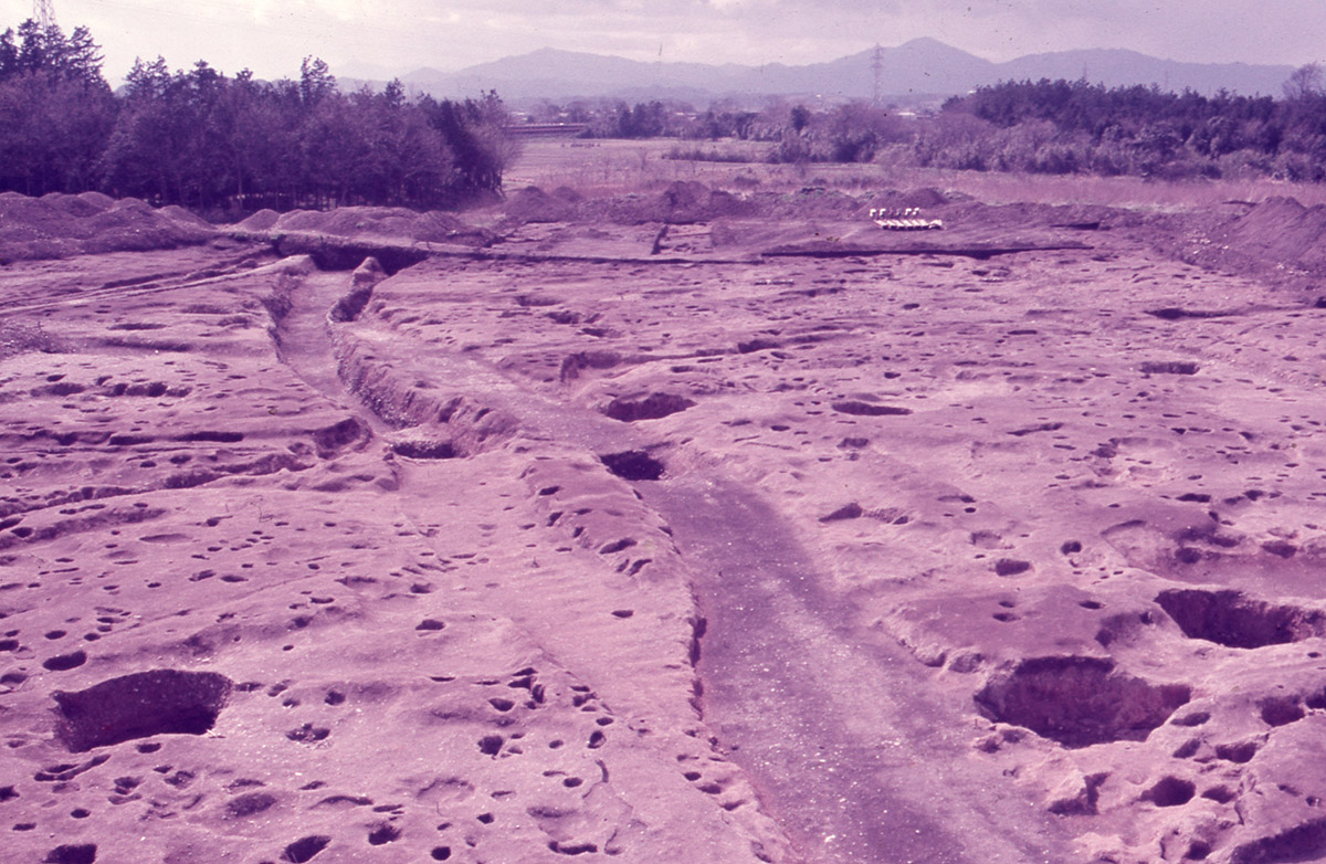
Walking around the Saiku Site
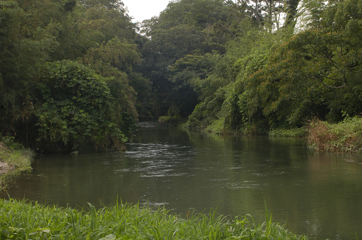
Enma River: the eastern edge of the Saiku
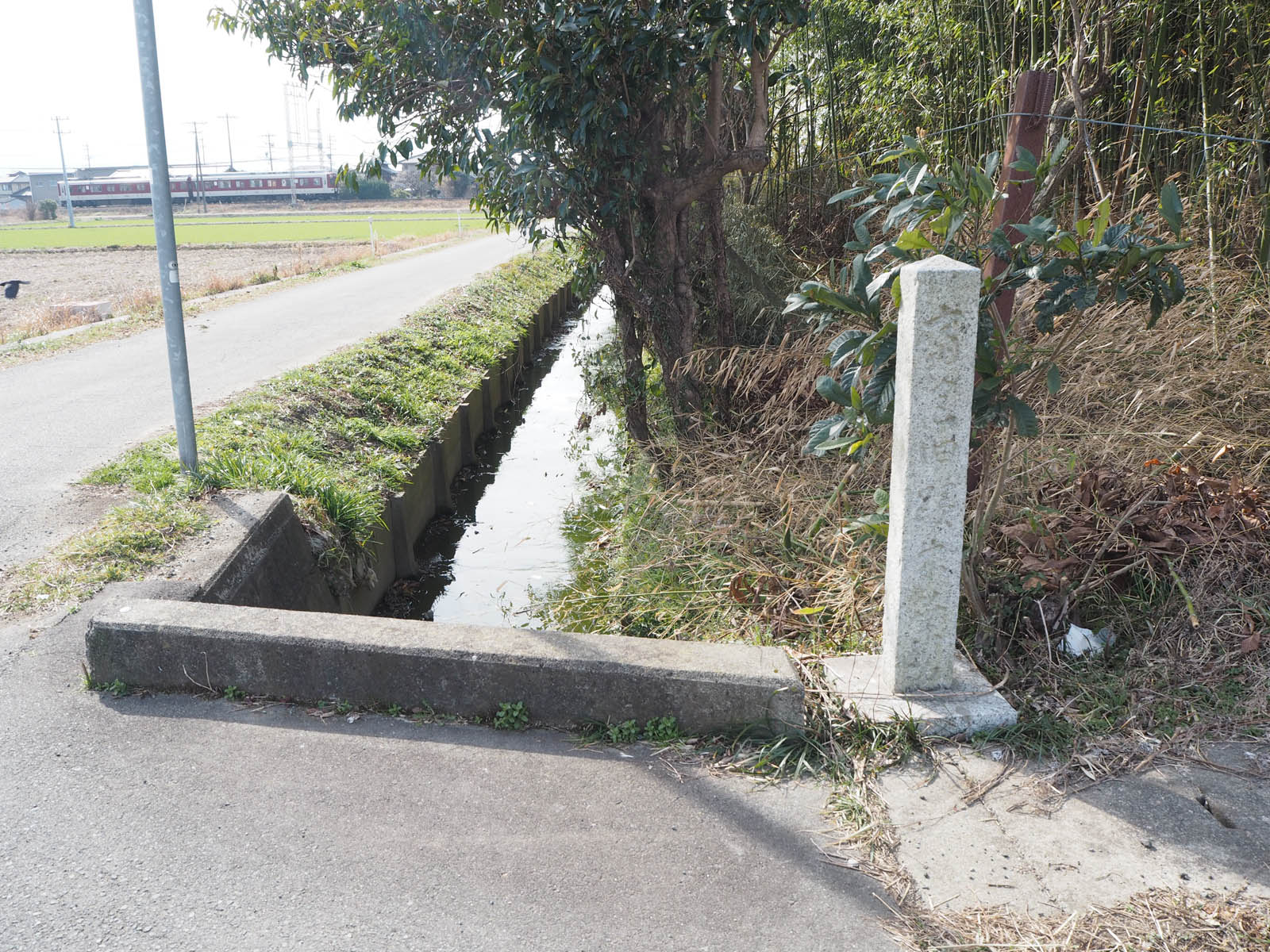 There is a stream called the Enma River flowing from south to north at the eastern edge of the historic site. This spot is not only at the eastern edge of the historic site, but was also positioned at the eastern edge of the blocks laid out in the Saiku’s grid pattern plan.
The Saiku site, mostly located on a flat plateau, slants generally from west to east. The construction of a city entails the challenge of disposing of rain and waste water. At the Saiku, this problem was overcome by draining water into the river through the gutters along the roads that divided the site into blocks.
Excavation site of pottery with an iroha-uta inscription in hiragana in black-ink
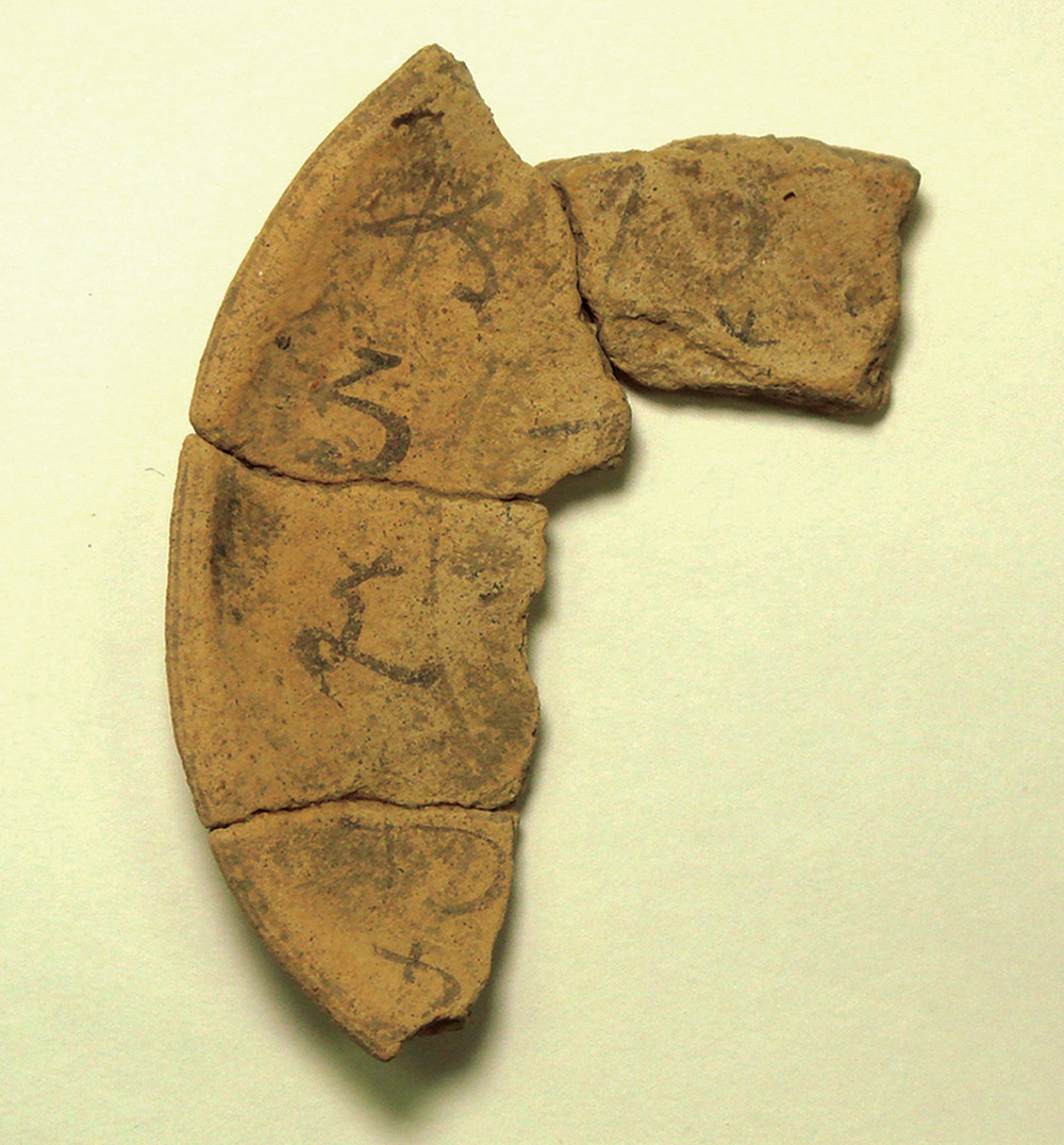
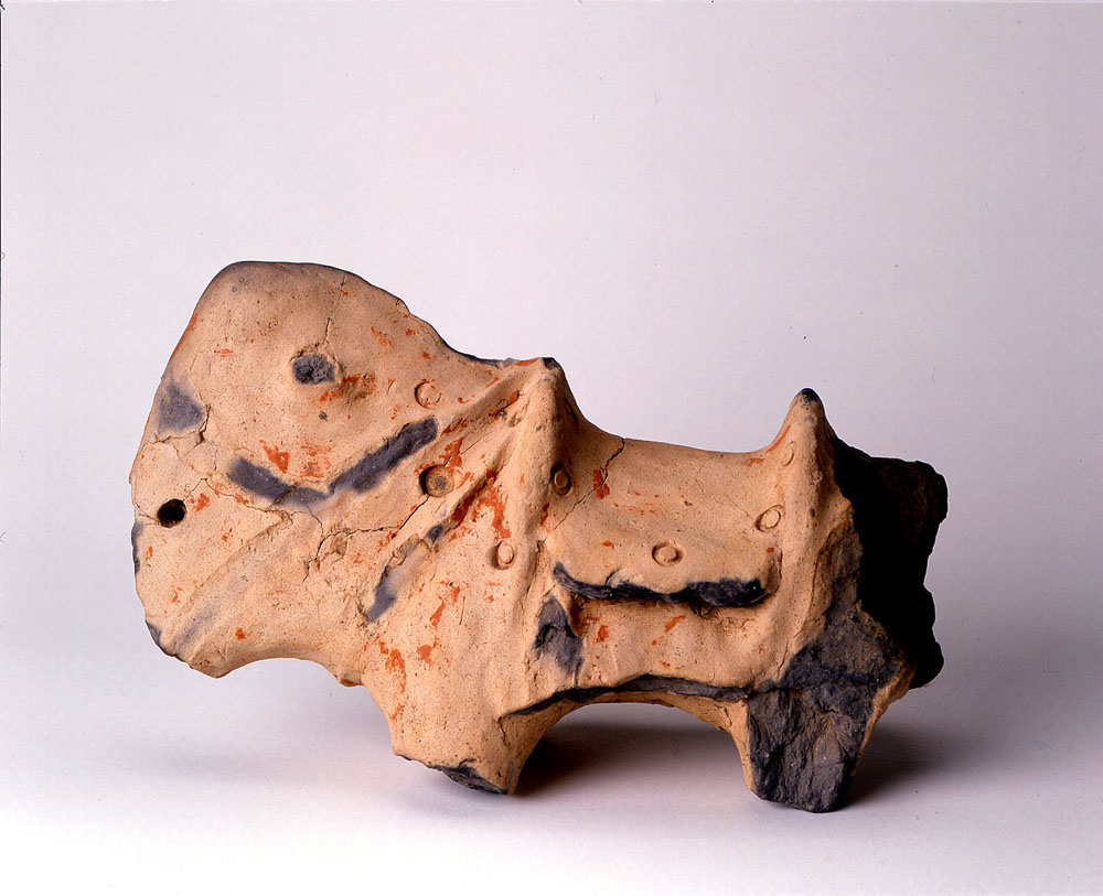
Among the excavated pottery with hiragana, a piece with an iroha-uta poem written in black-ink was excavated in 2010, and it is a particularly precious one. The iroha-uta poems were probably established in the 11th century at the latest, were composed with all the characters in the hiragana syllabary, and were used as models for learning the characters. This precious article is a piece of a small dish about nine centimeters in diameter, with hiragana reading “nu-ru-o-wa-ka” inside and “tsu-ne-na-ra” outside, which are parts of a poem. This small dish is living proof of the historical fact that elements of the high culture of the imperial capital were quickly disseminated to the Saiku.
Saio Woods
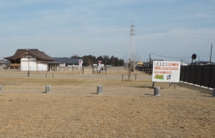
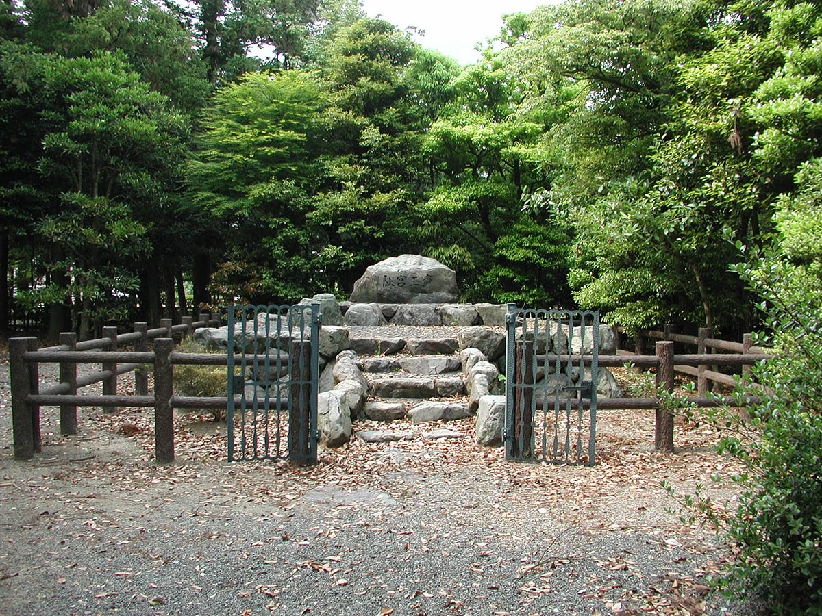 It had long been thought that a wooded area known as the “Saio Woods,” located in the north of the central part of the Saiku site, served as the heart of the Saiku. This forest, shown on a map drawn in the 18th century, is under the management of Ise Jingu now, and has a stone monument bearing the inscription “Site of the Saiokyu (Saio palace).”
However, a series of excavation works have revealed that the Saio Woods was likely located at the northwestern corner of the rectangular block area in the Heian period. It may have been the memory of the significance of this place to the Saiku that was passed down to us.
A road running straight south from the Saio Woods is modeled after the north-south road in the rectangular block area.
Saiku Mitachi no Hi (Monument to the Saiku Palace)
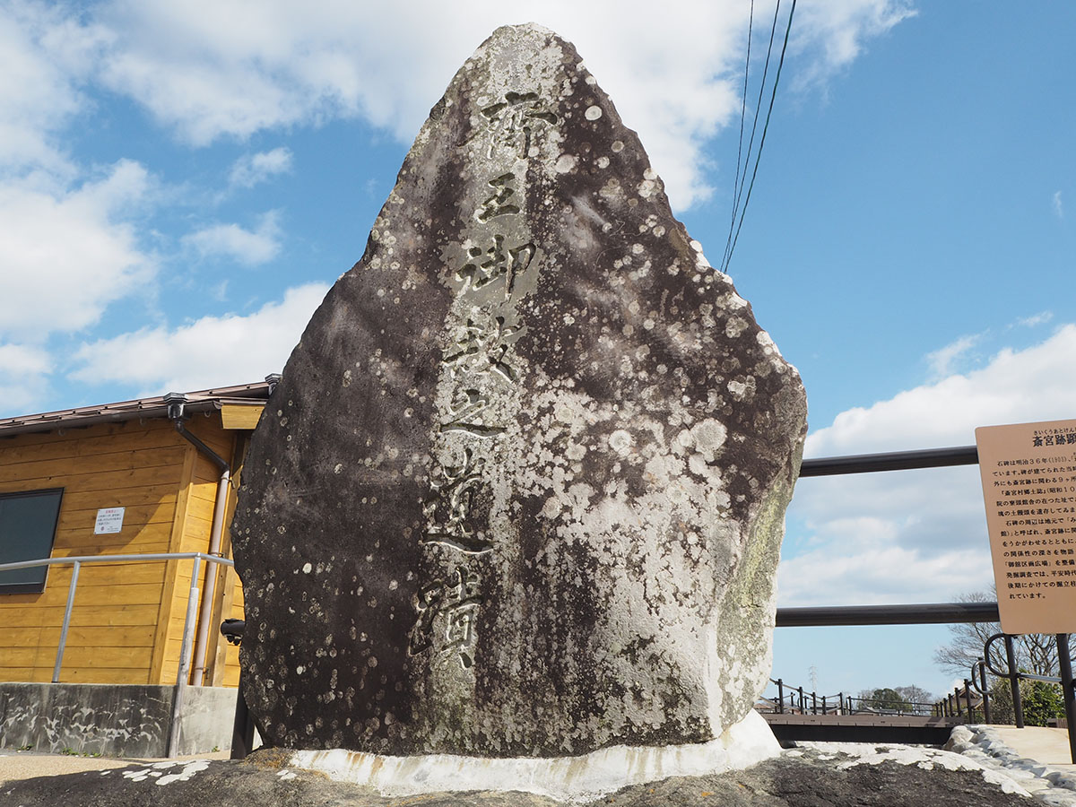 To the east of the Itsukinomiya Hall for Historical Experience is a stone monument bearing the inscription “Saiku Mitachi no Hi” (Monument to the Saiku Palace). This monument was built in 1903 when an organization was founded for the purpose of upholding the Saiku’s honor and revitalizing the Saiku, on the initiative of seven people, including the Saiku Village mayor. At that time, this area was deemed to have been the heart of the Saiku, as the place name “Mitachi,” means a “precious building.” Findings from excavations suggest that this area included part of an office building of the Heian-period Saikuryo.
This monument tells us that the local people of more than one hundred years ago treated the Saiku with great care and respect.
Kodai Ise-do (“The Ancient Ise Road”)
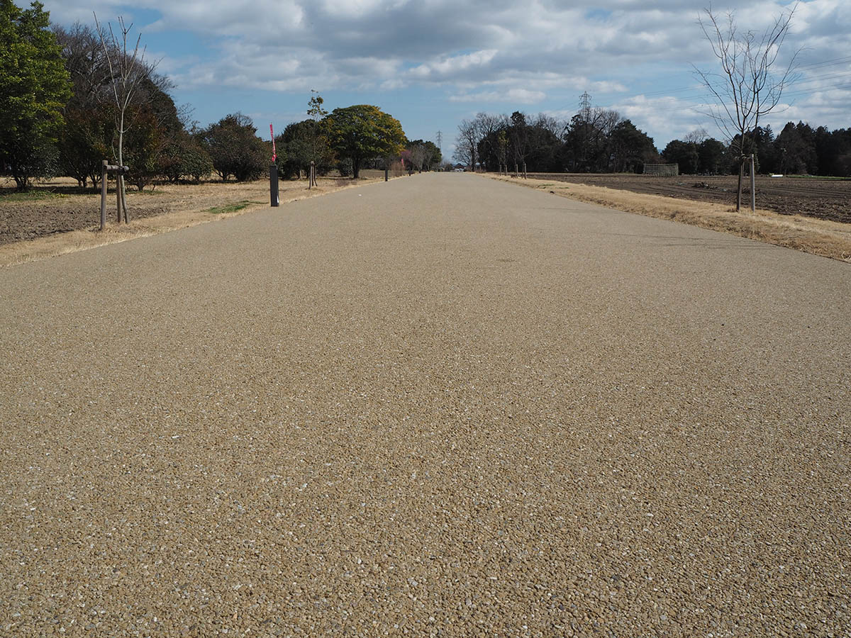 In the 8th century, the road running through the Saiku site from northwest to southeast was the main route connecting the capital and Ise Jingu. The road was used by the Saio as well as those dispatched to Ise Jingu on imperial errands. Today the road is named Kodai Ise-do (“The Ancient Ise Road”). The stretch of the road west of the park has been restored to its original width of approx. 9 m.
In the second half of the 8th century, the eastern part of the Saiku site was organized into blocks delineated by roads laid out on a grid plan. After this change, traffic within the blocks shifted to the newly laid out roads.
In the Edo period (1604–1867), a road named Sangu Kaido (“The Pilgrimage Road”) was created to the south of the Saiku site, and was used by large numbers of visitors to Ise Jingu.
Harai River
 The Harai River is today a small tributary of the Kushida River, though originally it was the other way around. When a newly appointed Saio made her trip to the Saiku from the capital, it was customary for her to perform purifying rituals several times during the journey. Harai River was where the Saio performed her last purifying ritual before arriving at the Saiku.
It is recorded that during the Edo period (1604–1867), pilgrims on their way to Ise Jingu also purified themselves when crossing this river.
Tsukayama Kofun-gun (Tsukayama burial mound group)
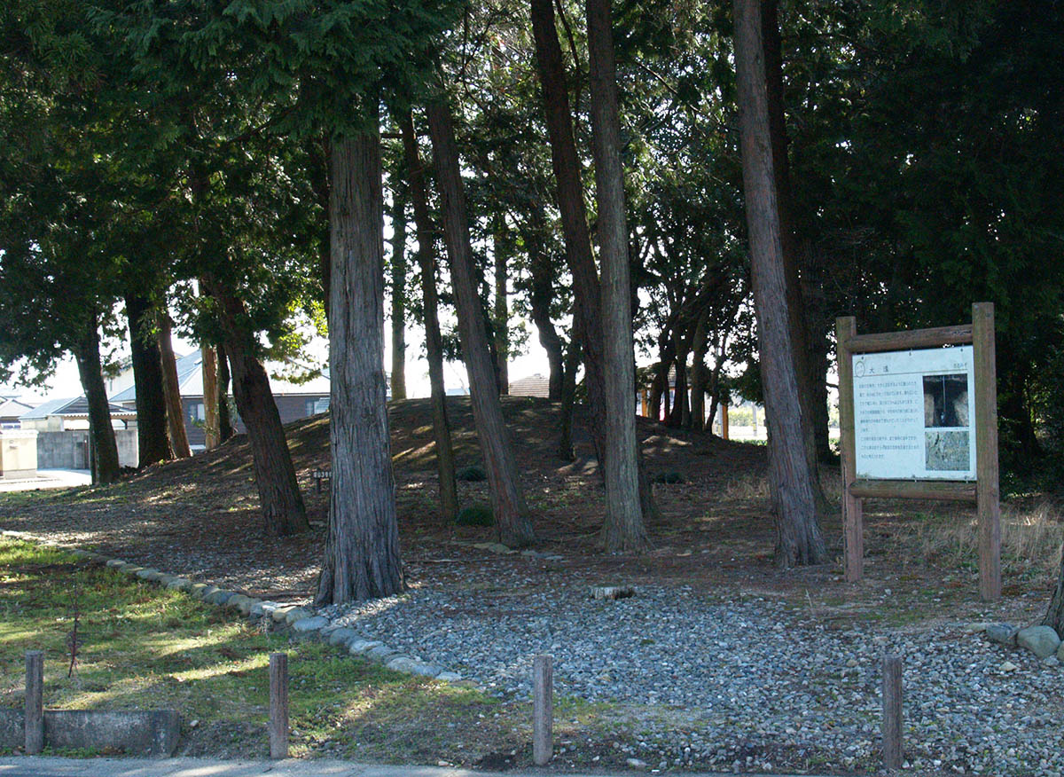 In the northwestern part of the Saiku site, there are thirteen kofun, or ancient burial mounds. Archaeological excavations and aerial photographs from around 1948 show there were once 42 burial mounds. The burial mounds remaining today include a square kofun measuring 20 meters on each side, and a round kofun with a diameter of 19 meters. Excavations have revealed that Kofun No. 3 was built between the second half of the 5th century and early 6th century. These ancient burial mounds are thought to belong to local leaders predating the establishment of the Saiku.
Furusato Chiku (Furusato District)